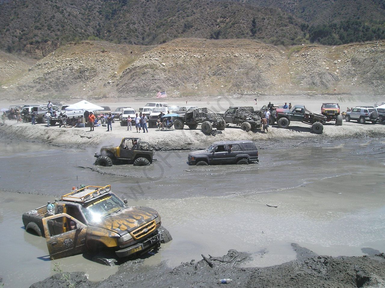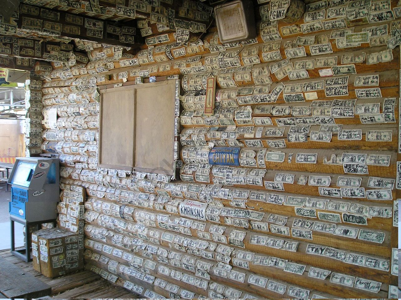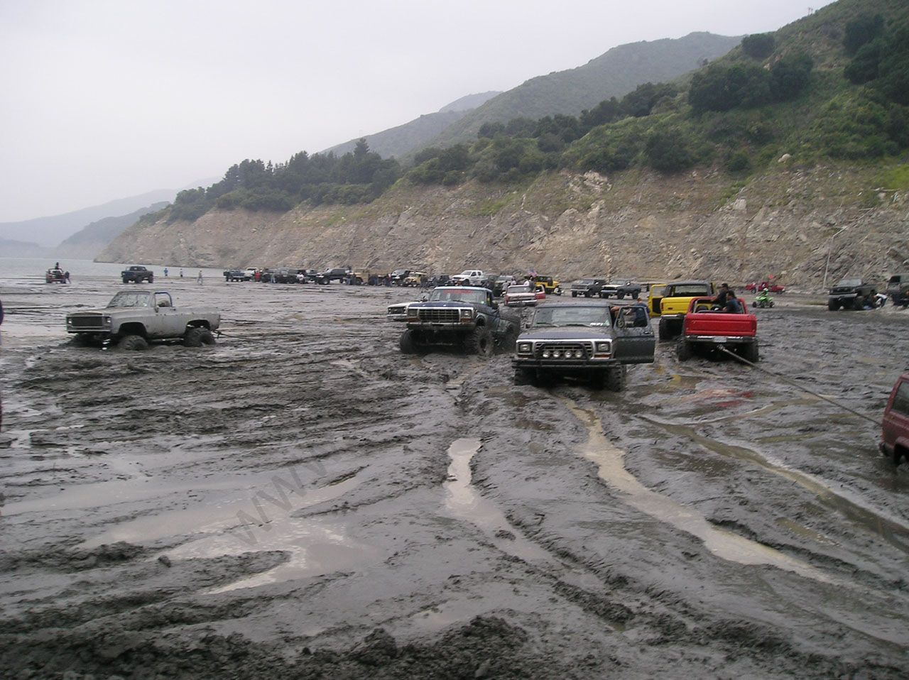
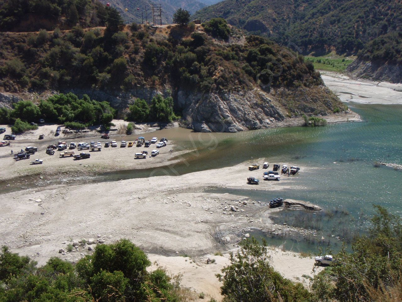
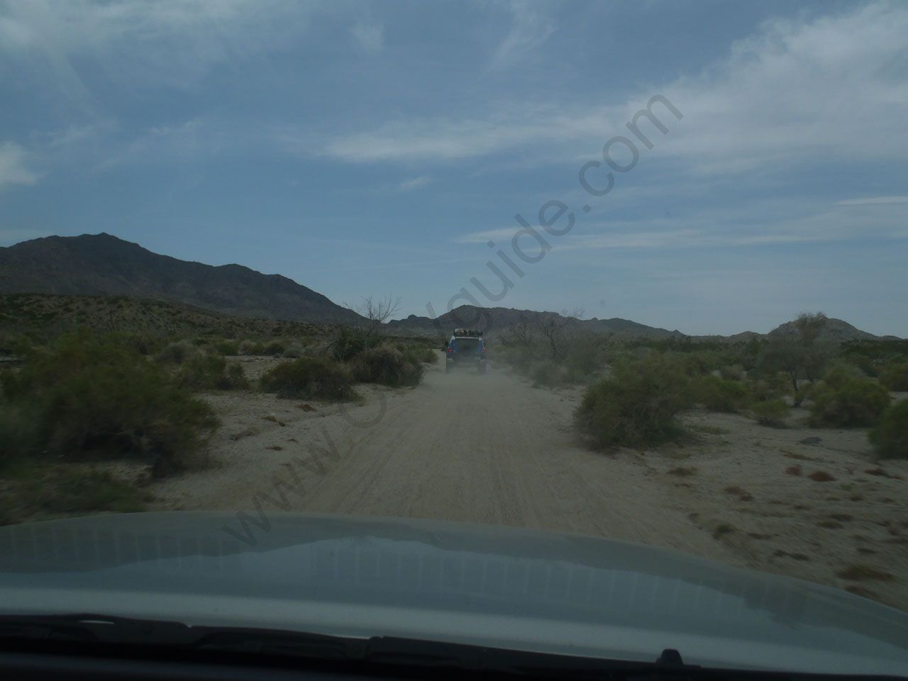
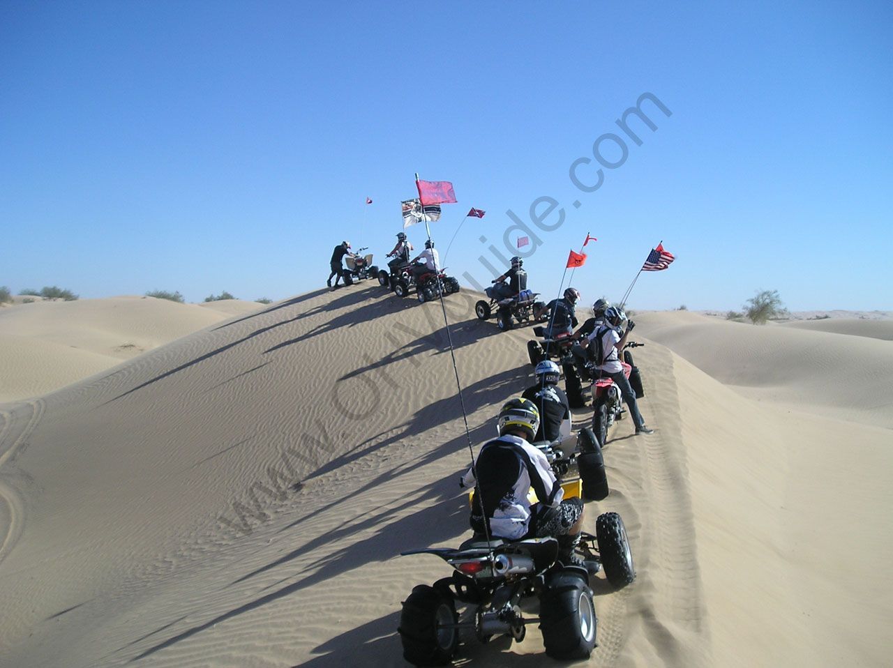
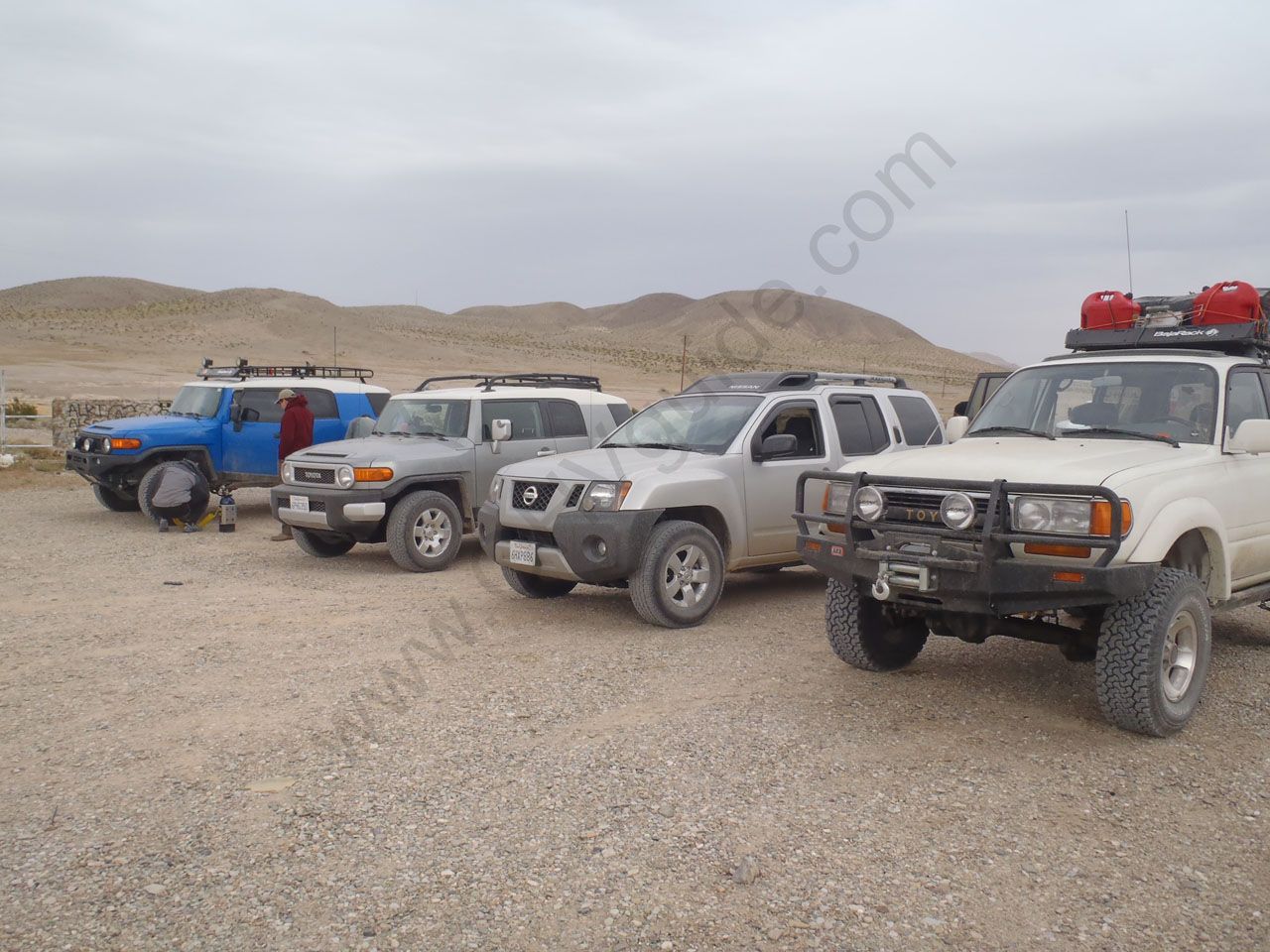
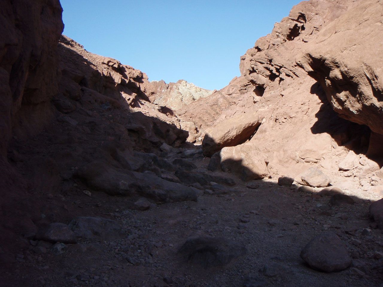
These are some of the top viewed pictures from the last 20+ years of camping and riding spots in Southern California, although i’m starting a new gallery of all past trips and riding areas temporarily here http://www.brain411.com/gallery/
-
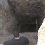
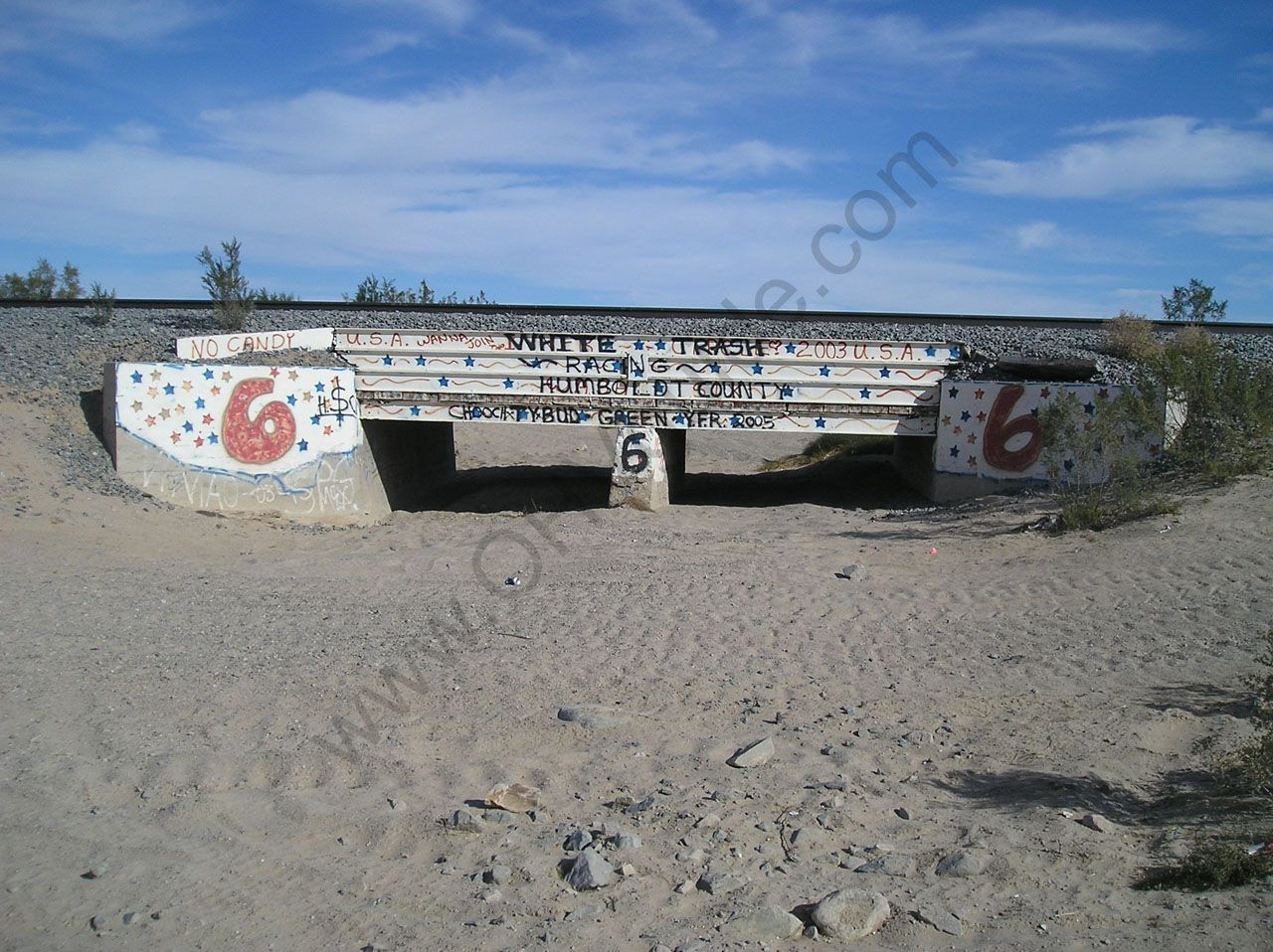
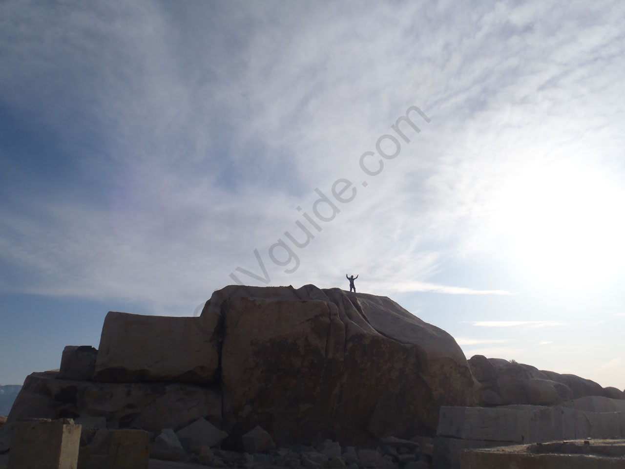
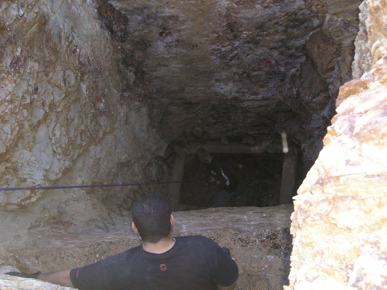
- Stoddard Wells Mineshaft
-
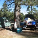
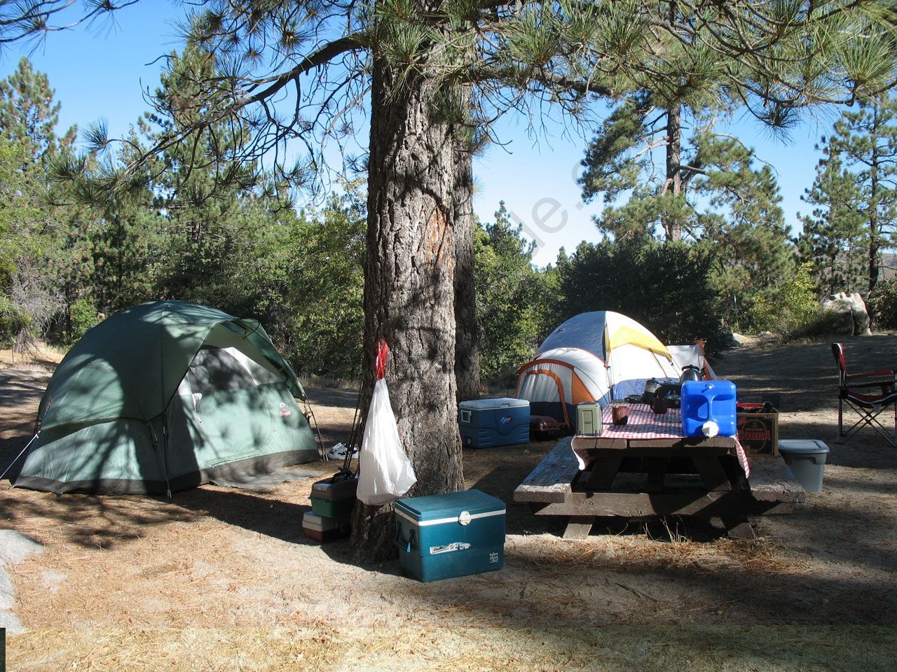
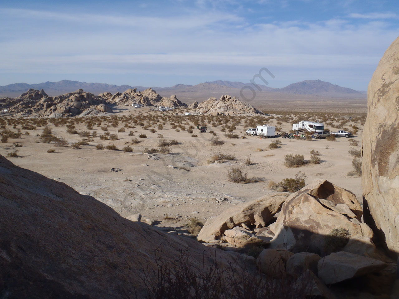
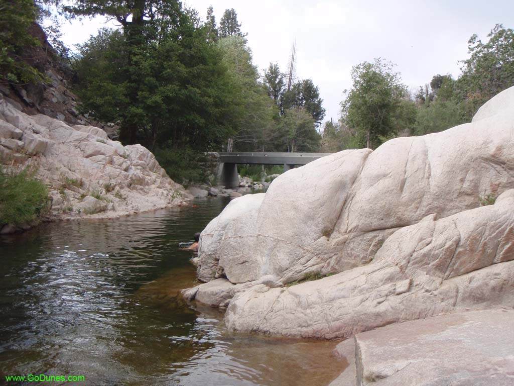
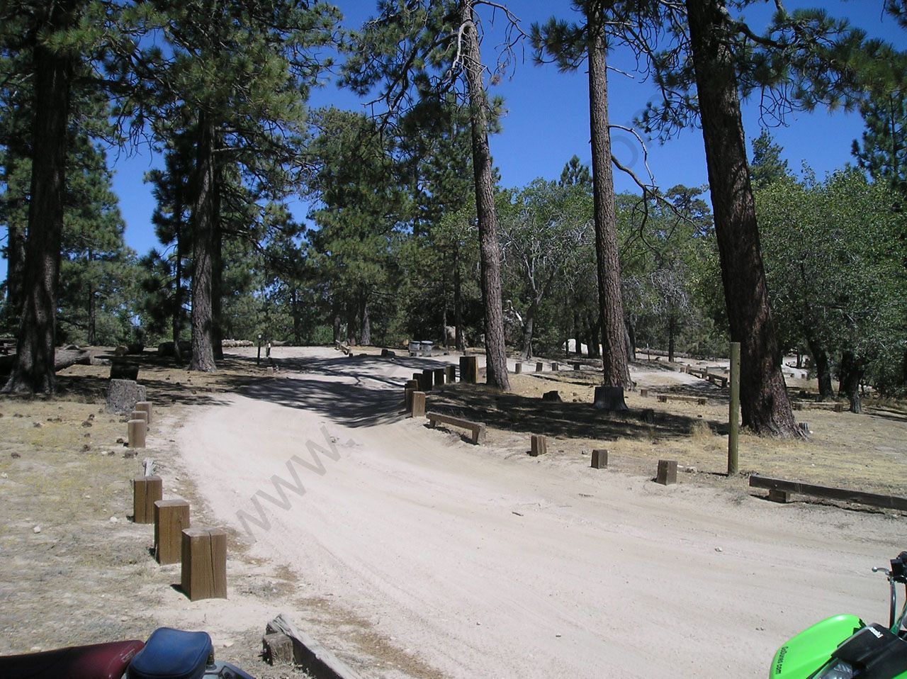
- Crab Flats